
Close
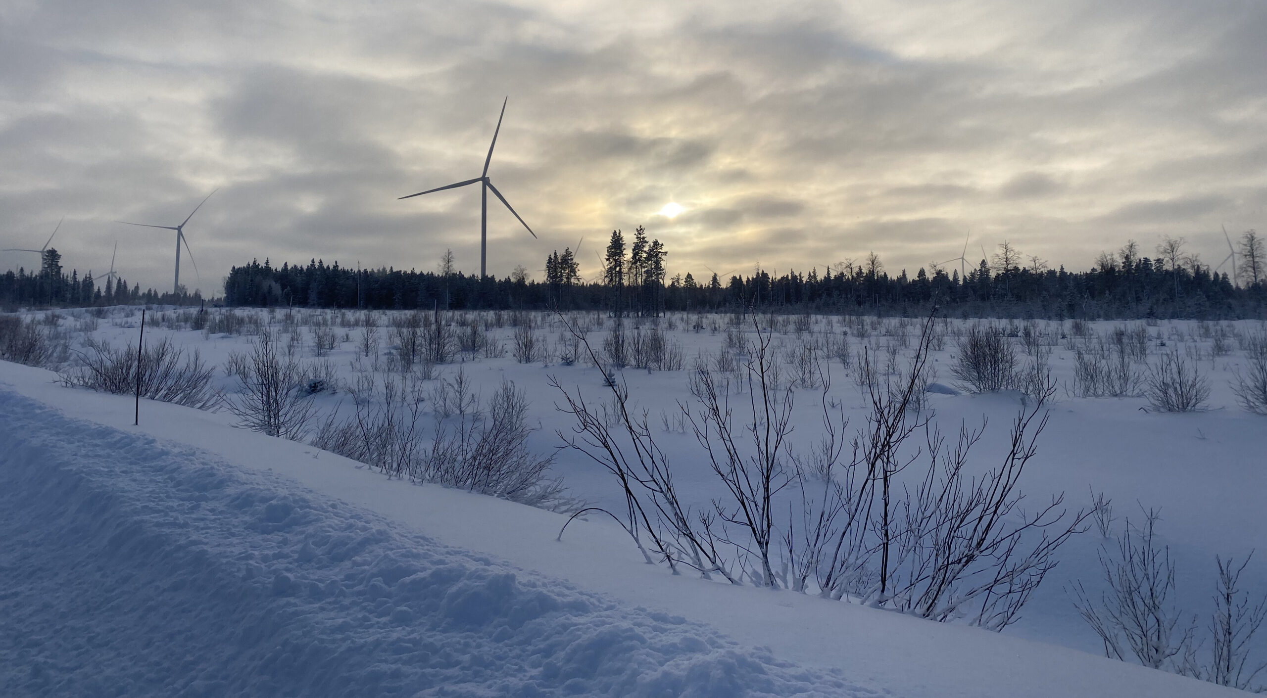
Wind farms in cold climates face a unique challenge: wind turbine icing. When temperatures drop below freezing, moisture in the air can freeze onto turbine blades, altering their shape and weight. This reduces aerodynamic efficiency, leads to energy production losses, and can also cause mechanical issues and safety risks. Accurate icing calculations are essential for designing turbines that can operate in harsh conditions and for planning maintenance to minimise downtime.
Vortex ICING allows quantification of the meteorological icing phase, during which atmospheric conditions are favourable for ice accretion. During this phase, ice accumulates on infrastructures, such as sensors and turbine blades.
First, Vortex runs a 10-year, hourly time-series simulation with the WRF model at 3-km horizontal resolution to identify cold periods with potential icing conditions using a temperature threshold.
Once these periods are detected, a second simulation is run at higher spatial resolution (1 km), focused on the potential icing days. This simulation uses a microphysics scheme that better represents cloud properties relevant for icing, especially the qcloud variable (Thompson scheme), which allows to identify and filter better the most humid days. From this high-resolution simulation, we determine the candidate icing periods, which are cold and humid days.
For this subset of days, we run a FARM simulation at 100-m resolution covering the domain defined by the user. This FARM provides a more accurate wind-speed estimation for the Makkonen icing model, as well as qcloud values needed to compute the icing accretion rate (dm/dt).
The model assumes that icing occurs when supercooled cloud droplets impact a cold surface and freeze. Three factors control the process:
In simplified form, the icing rate is expressed as:
dm/dt = α · β · ρw · M · LWC
In practice, colder temperatures increase sticking efficiency, stronger winds increase droplet impacts, and higher cloud-water content provides more available liquid. This makes the Makkonen model both physically consistent and practical, requiring only wind speed and cloud-liquid content—exactly the variables produced by the Vortex high-resolution simulations.
The outputs of Vortex Icing are two types: map layers for the full domain, and time series and reports for specific points. All heights are available between 50 and 300 m.
Map layers can be delivered as ESRI grids, Google Earth KMZ files, or WRG files.
YYYYMMDD HHMM   dmdt(g/h)  T100(C)  Tref(C)  Mref(m/s)  Dref(deg)  RHref(%)
20201126 2300         -         -      -0.1        6.3        185       98.4
20201127 0000         -         -       0.1        7.1        195       98.4
20201127 0100      16.6      -0.2       0.2        9.4        206       98.3
20201127 0200      12.2      -0.4       0.2       10.5        211       98.3
20201127 0300      19.4      -0.2       0.1       10.9        213       98.5
20201127 0400      40.3       0.1       0.1       10.9        214       98.8
20201127 0500      64.5      -0.1       0.1       10.4        218       99.5
20201127 0600      76.3      -0.1      -0.1        9.6        221      100.0
20201127 0700      72.6      -0.2      -0.1        8.6        223      100.0
20201127 0800      53.8      -0.3      -0.1        7.9        226      100.0
20201127 0900      43.9      -0.3      -0.2        7.5        232      100.0
20201127 1000      38.3      -0.6      -0.6        7.2        238       99.4
20201127 1100      17.8      -1.0      -0.8        7.0        237       97.5
20201127 1200         -         -      -1.1        7.0        234       96.7
20201127 1300         -         -      -1.4        7.0        232       96.4
The report summarises icing statistics at each turbine location:
Accurate icing modeling is key to minimizing downtime and maximizing performance in cold climates. By reducing uncertainty in energy production estimates, it also improves risk assessment and project bankability.
With Vortex ICING, you get the high-resolution data needed to turn weather risks into manageable project insights.
Modeled wind resource data for the wind industry.
At any site around the world. Onshore and offshore.